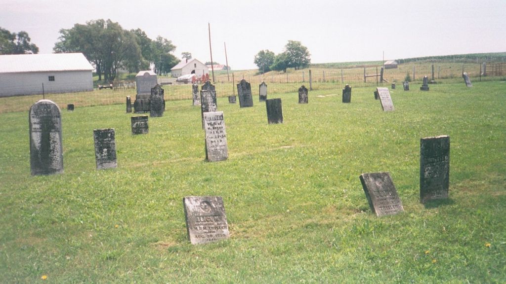
Hebron Cemetery
Also known as Mount Hebron Cemetery
Clay Township, Decatur County, Indiana, USA
About
-
Get directions W County Road 300 N
Clay Township, Indiana 47240 United StatesCoordinates: 39.37971, -85.57012 - Cemetery ID:
Members have Contributed
Advertisement
Photos


Indiana Cemetery Locations, Volume 3, published by the Indiana Genealogical Society (April 2007), gives the primary cemetery name as Mount Hebron Cemetery.
The cemetery is listed in the Cemetery and Burial Grounds Registry of the Indiana Department of Natural Resources (DNR) and in the State Historical Architectural and Archaeological Research Database (SHAARD) with Cemetery Record Number CR-16-22 (Mount Hebron).
The Indiana Historic Sites and Structures Inventory (IHSSI) survey number for Mount Hebron Cemetery is 031-003-15004 with the dataset compiled in 1999.
The U.S. Geological Survey (USGS) Geographic Names Information System (GNIS) feature ID for the cemetery is 2795150 (Hebron Cemetery).
The Decatur County GIS lists the cemetery as three separate parcels: one with state parcel number 16-06-30-220-005.040-003 with alternate ID 002-03032-04, owner Hebron Cemetery Association Inc., and parcel size 6.903 acres; one with state parcel number 16-06-30-000-007.000-003 with alternate ID 002-79013-00, owner Hebron Cemetery Association, and parcel size 0.35 acres; and one with state parcel number 16-06-30-000-006.000-003 with alternate ID 002-79012-00 and with owner Trustees of the Regular Baptist.
Nearby cemeteries

Adams Township, Decatur County, Indiana, USA
- Total memorials133
- Percent photographed89%
- Percent with GPS9%

Clay Township, Decatur County, Indiana, USA
- Total memorials16
- Percent photographed100%
- Percent with GPS0%
Clay Township, Decatur County, Indiana, USA
- Total memorials0
- Percent photographed0%
- Percent with GPS0%

Milford, Decatur County, Indiana, USA
- Total memorials5
- Percent photographed100%
- Percent with GPS0%
- Added: 11 Sep 2003
- Find a Grave Cemetery ID: 1969848

Cemetery Photos
This is a carousel with slides. Use Next and Previous buttons to navigate, or jump to a slide with the slide dots. Use Escape keyboard button or the Close button to close the carousel.


Success
Uploading...
Waiting...
Failed
This photo was not uploaded because this cemetery already has 20 photos
This photo was not uploaded because you have already uploaded 5 photos to this cemetery
This photo was not uploaded because you have already uploaded 5 photos to this cemetery
Invalid File Type
Birth and death years unknown.
1 photo picked...
2 photos picked...
Uploading 1 Photo
Uploading 2 Photos
1 Photo Uploaded
2 Photos Uploaded
Size exceeded
Too many photos have been uploaded
"Unsupported file type"
• ##count## of 0 memorials with GPS displayed. Double click on map to view more.No cemeteries found